|
All 5 books, Edward Tufte paperback $180
All 5 clothbound books, autographed by ET $280
Visual Display of Quantitative Information
Envisioning Information
Visual Explanations
Beautiful Evidence
Seeing With Fresh Eyes
catalog + shopping cart
|
Edward Tufte e-books Immediate download to any computer: Visual and Statistical Thinking $5
The Cognitive Style of Powerpoint $5
Seeing Around + Feynman Diagrams $5
Data Analysis for Politics and Policy $9
catalog + shopping cart
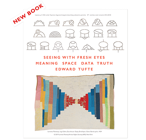
New ET Book
Seeing with Fresh Eyes:
catalog + shopping cart
Meaning, Space, Data, Truth |
Analyzing/Presenting Data/Information All 5 books + 4-hour ET online video course, keyed to the 5 books. |

I am trying to track down online versions of maps drawn by Adolphe Quetelet and Andre Guerry in the 1830s in France. These maps were some of the earlier maps depicting crime and its relationship to geography. Do you know where I could find something like this?
Cynthia
University of Maryland
-- Cynthia Lum (email)
Response to quetelet and guerry
The obvious source is Gilles Palsky, Des chiffres et des cartes la cartographie quantitative au XIXe siecle (Paris, 1996). The image you seek appears on page 68.
-- Edward Tufte
Michael Friendly and Daniel J. Denis have put together an excellent collection, "Milestones in the History of Thematic Cartography, Statistical Graphics, and Data Visualization" at
http://www.math.yorku.ca/SCS/Gallery/milestone/index.html
-- Edward Tufte
|
|||||||||||